Houston to Big Bend: Best Routes, Drive Times & Road Tips
The trip from Houston to Big Bend is a true cross-Texas adventure—piney woods to Hill Country to wide-open desert. Expect roughly 8–9 hours of drive time and about 540–600 miles, depending on your route and first stop (Panther Junction, Terlingua/Study Butte, or Marathon).
Primary Route: I-10 West → Fort Stockton → Choose Your Gateway
This is the most straightforward path with steady highway speeds and frequent services until West Texas.
- Houston → Fort Stockton (I-10): Long interstate haul with major fuel/food stops along the way.
- From Fort Stockton, pick your entrance:
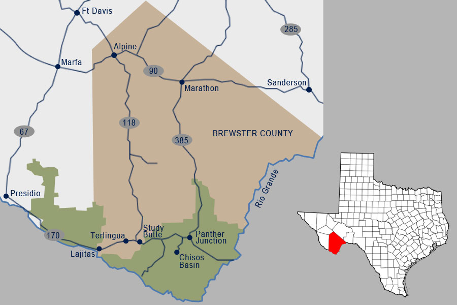
- Eastern Entrance (Persimmon Gap): Take US-385 south via Marathon to the park’s east gate, then continue to Panther Junction.
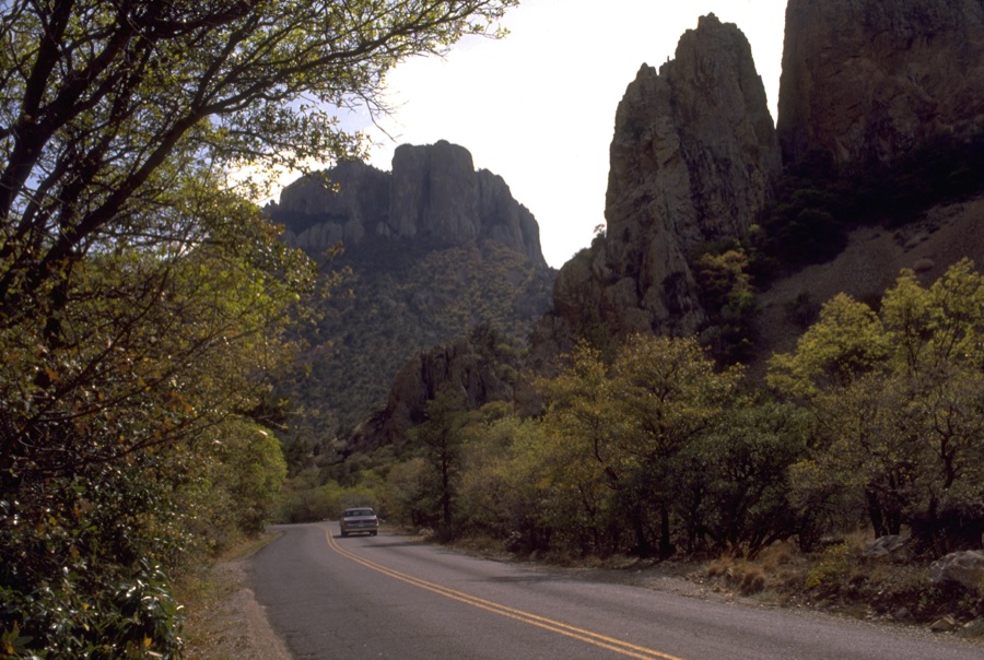
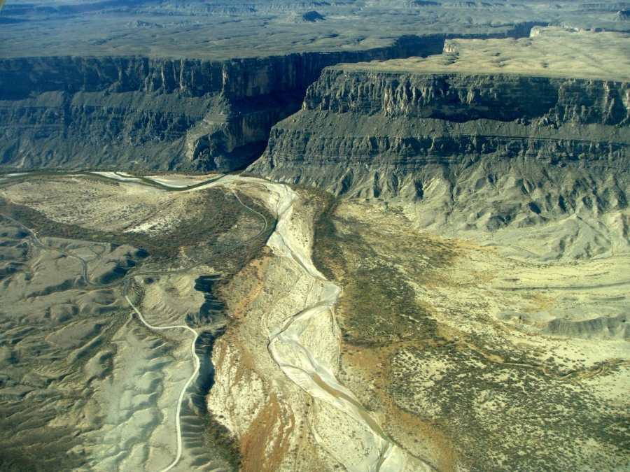
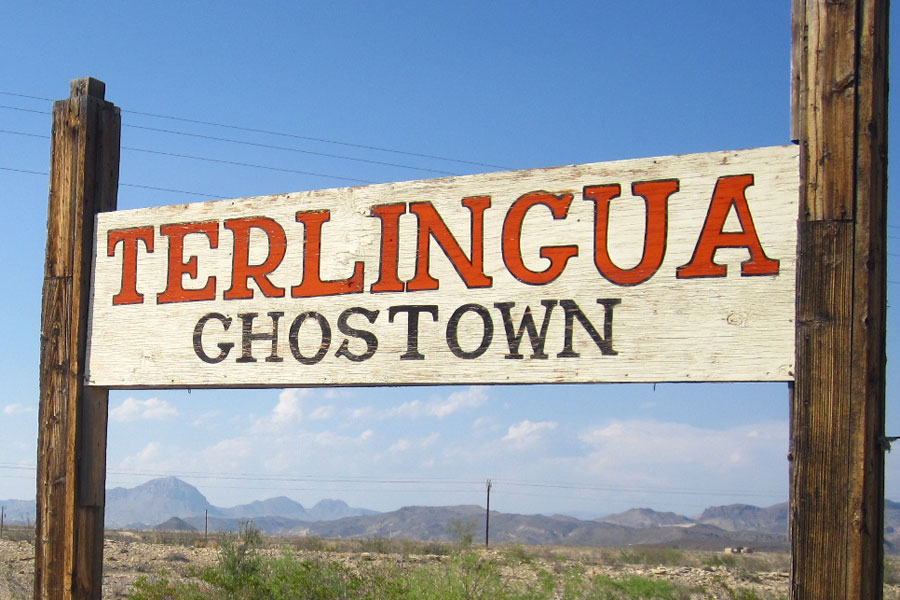
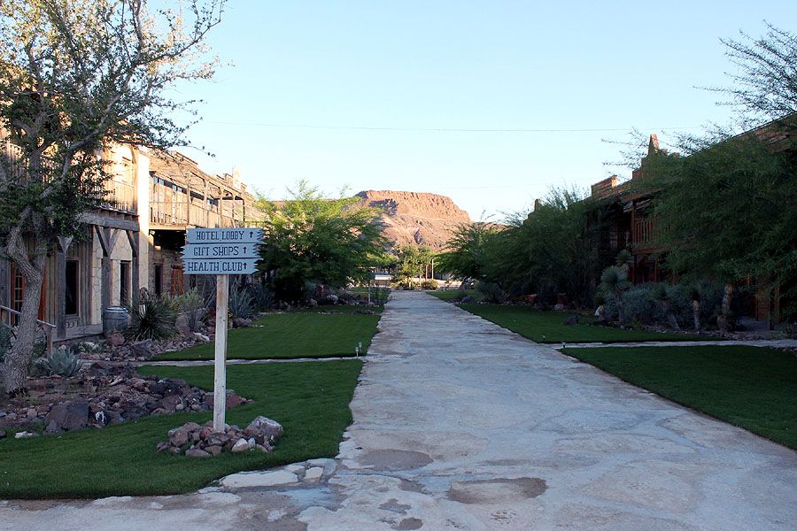
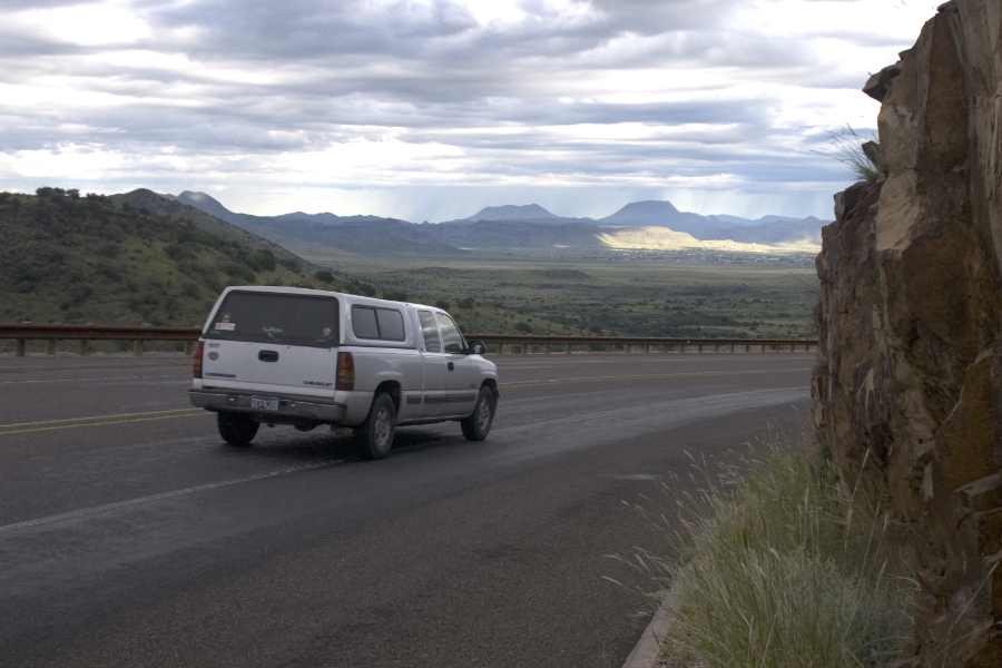
- Western Entrance (Maverick): Stay on I-10 a few more miles to US-67, head south to Alpine, then TX-118 to Study Butte/Terlingua—the best approach for Ross Maxwell Scenic Drive and River Road (FM 170).
Alternate Route: I-10 to San Antonio → US-90 via Uvalde & Del Rio
More small towns and borderlands scenery, fewer interstate miles. Often shorter in distance but slower in time due to local speed limits and stoplights.
- From Houston, follow I-10 to San Antonio, then take US-90 west through Uvalde and Del Rio.
- Continue on US-90 to Marathon (connect to US-385 for the east entrance) or to Alpine (connect to TX-118 for the west entrance).
- For details from that hub, see Drive from San Antonio.
Estimated Drive Times & Distances
- Houston → Panther Junction (via I-10/US-385): ≈ 560–600 miles, about 8.5–9.5 hours
- Houston → Terlingua/Study Butte (via Alpine/TX-118): ≈ 560–620 miles, about 9–10 hours
- Houston → Marathon (via US-90 or I-10/US-385): ≈ 520–560 miles, about 8–9 hours
Actual times vary with traffic, construction, weather, and stops.
Great Stops Along the Way
- San Antonio (I-10): Easy break point and services before the long westward stretch.
- Uvalde & Del Rio (US-90): Scenic borderlands towns and supply stops.
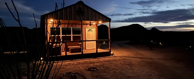
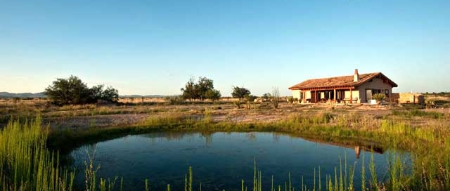
- Marathon & Alpine: Classic West Texas gateways for fuel, food, and last-minute gear.
Road Tips, Fuel & Safety
- Top off often: Services thin out west of Fort Stockton and south of Marathon; plan fuel in Marathon, Alpine, and Study Butte/Terlingua.
- Inside the park: Speed limit is generally 45 mph (lower where posted). Distances are long—budget time.
- Navigation: Cell coverage is spotty. Download offline maps and keep a paper map as backup.
- Heat & hydration: Carry at least one gallon of water per person per day, even in cooler months.
- Wildlife: Watch for deer, javelina, and livestock—especially at dawn and dusk.
Need a Car?
Flying part of the way or meeting friends en route? See Vehicle Rentals to Big Bend for options from El Paso, Midland, and Alpine.
More Route Guides
Explore other starting points:
Frequently Asked Questions about Travel to Big Bend