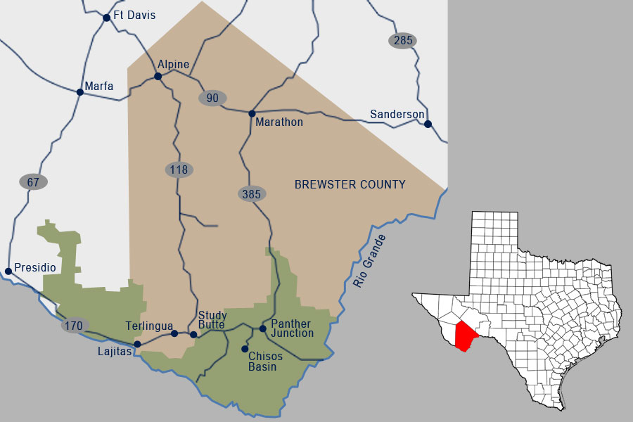


The region was sparsely inhabited for thousands of years by semi nomadic peoples related to the Patarabueyes and Jumanos tribes before the Spanish arrived. It is speculated that Cabeza de Vaca crossed the Rio Grande at Lajitas around 1530, and it is almost certain that Antonio de Espejo’s party did in 1588. Later, after as the horse became integrated into the Apache and Comanche culture, these nomadic tribes frequented the area, causing the Spanich to set up a series of Presidios and military colonies, one of which, San Carlos, lies 18 miles south of Lajitas. Anglo-Americans first arrived around the time of the Mexican war. In 1852 Lt. William H. Emory visited the site as part of the first official US survey party.
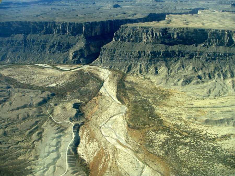
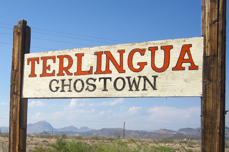
In the late 1890s quicksilver was discovered near Terlingua, eleven miles from Lajitas, and a rapid influx of people followed. At the same time a number of cattle ranches and mining enterprises appeared in northern Chihuahua and Coahuila. These activities increased commerce across the Rio Grande into Texas; consequently, by 1900 Lajitas was designated a substation port of entry. Farming along the narrow floodplain of the river served to bring in more families, and by 1912 the town had a store, a saloon, a school with fifty pupils, and a customhouse. The crossing, a smooth rock bottom all the way across the river, was the best between Del Rio and El Paso.
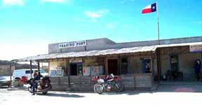
H. W. McGuirk, the leading citizen of Lajitas from 1902 to 1917, operated the Lajitas Trading Post, farmed, and helped manage the Terlingua Mining Company. He also funded the construction of a church and a school. Lajitas officially had a post office as early as 1901, but it did not become operational until McGuirk petitioned for its reestablishment in 1904. It was closed temporarily in 1910, reopened in 1916, and closed permanently in 1939. McGuirk sold his landholdings around Lajitas to Thomas V. Skaggs, who continued farming. Skaggs also became successful in a candelilla wax business, the Lajitas Wax Company. In 1916 the interruption of commerce by civil unrest in Mexico, and isolated bandit raids into the US brought Gen. John J. Pershing’s troops to Lajitas, where they established a small cavalry post to monitor this critical river crossing.
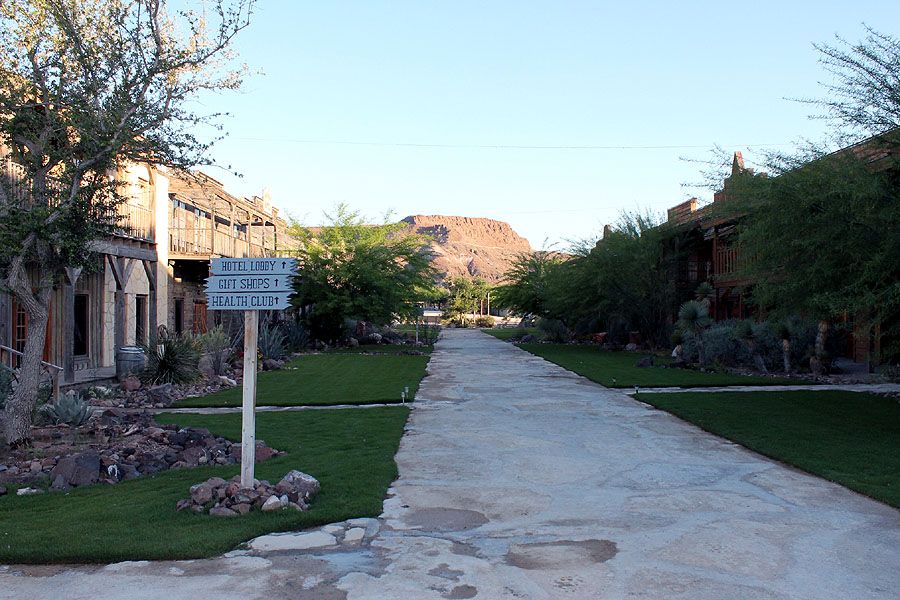
The Lajitas property continued to change hands and in 1949 was bought by Rex Ivey, Jr., who hand-dug a well and installed a generator for the area’s first electric lights. Due to the closing of the Terlingua quicksilver mines, the number of residents in Lajitas had dwindled to four. In 1977 Ivey sold part of the Lajitas area to Houston entrepreneur Walter M. Mischer, of Mischer Corporation; Mischer had begun development and restoration of the community in 1977, under the name of the corporation’s subsidiary, Arrow Development Company. By the early 80’s, Lajitas on the Rio Grande had a 9 hole golf course, two lodging units, several condos, and was a local center of economic activity in Brewster County.
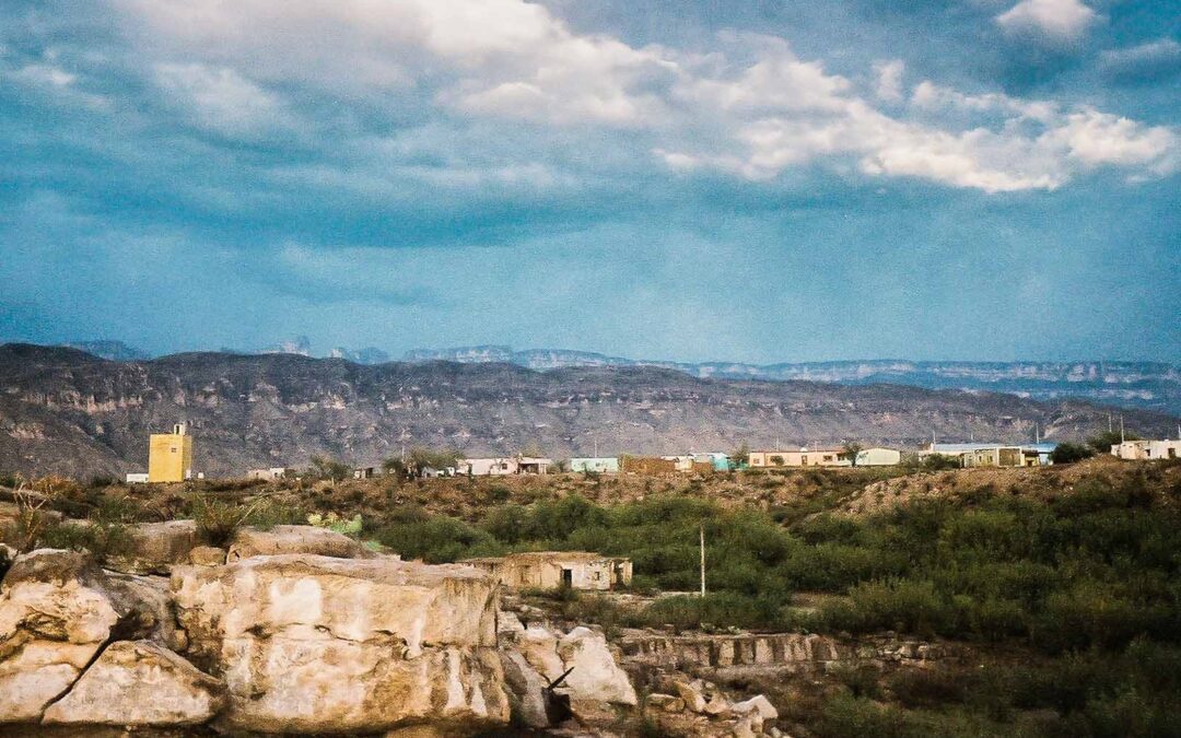
By the late 90’s, Lajitas and its sister town, Paso Lajitas, Chihuahua, Mexico had over 200 inhabitants. In 2000, the town and surrounding 25,000 acres was sold at auction to Austin entrepreneur/developer Steve Smith, who completely remodeled the town, attempting to establish an exclusive high end resort for the jet set. That effort ran out of steam and money in 2007, and a group of investors bought the property, cut the prices in half, and have created a luxurious and affordable environment for visitors to Texas Big Bend.