Lodging
Lodging Chart
Marathon
Study Butte
Terlingua
Lajitas
Outlying Areas
Big Bend National Park
Parks
National Park
State Park
3 Dreamy Days in Big Bend, Texas
Hiking Trails for Young Children in Big Bend National Park
National Park Info
Boquillas Canyon
More...
Directions
Drive
Fly
Train
Motorcycles
Vehicle Rental
Activities
Bicycles
River Trips
Birding
Culture
Golf
Hiking
Night Life
Shooting
More...
Food And Drink
Marathon
Study Butte
Terlingua
Lajitas
Big Bend National Park
Outlying Area
Communities
Terlingua
Lajitas
Marathon
Study Butte
Big Bend National Park
Alpine
BIG BEND NATIONAL PARK WEATHER

Big Bend

Santa Elena
Santa Elena Canyon is one of the best-known natural features in Big Bend National Park. A short nature trail enters its shady depths, 8 miles west of Castolon, accessible by either Ross Maxwell Scenic Drive or the Old Maverick Road.

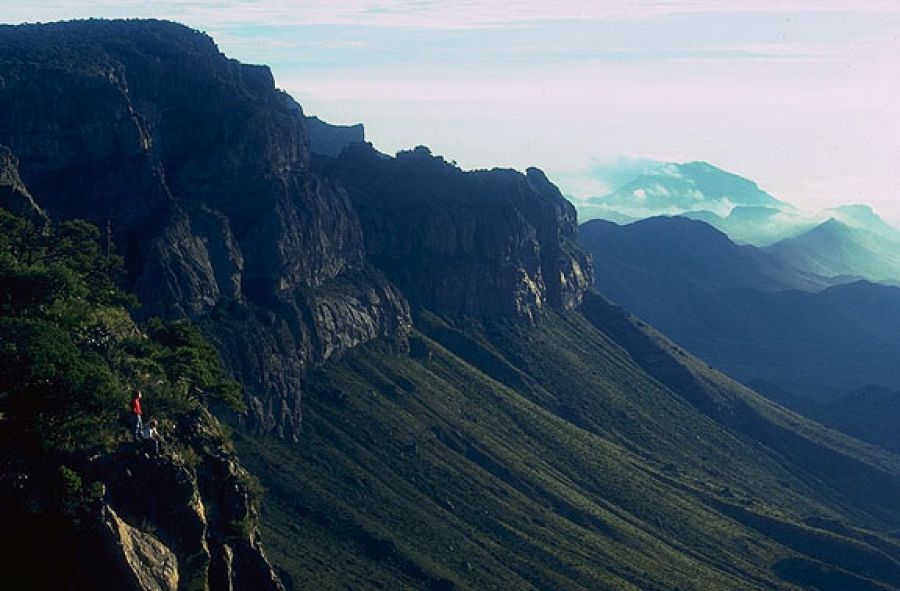
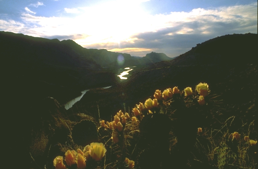
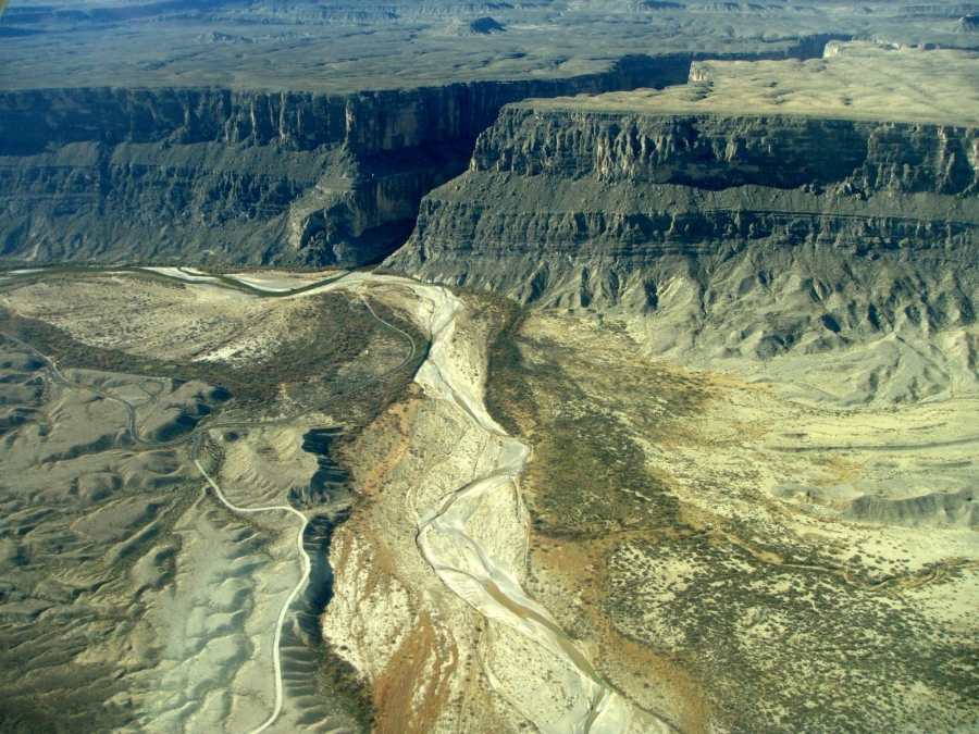
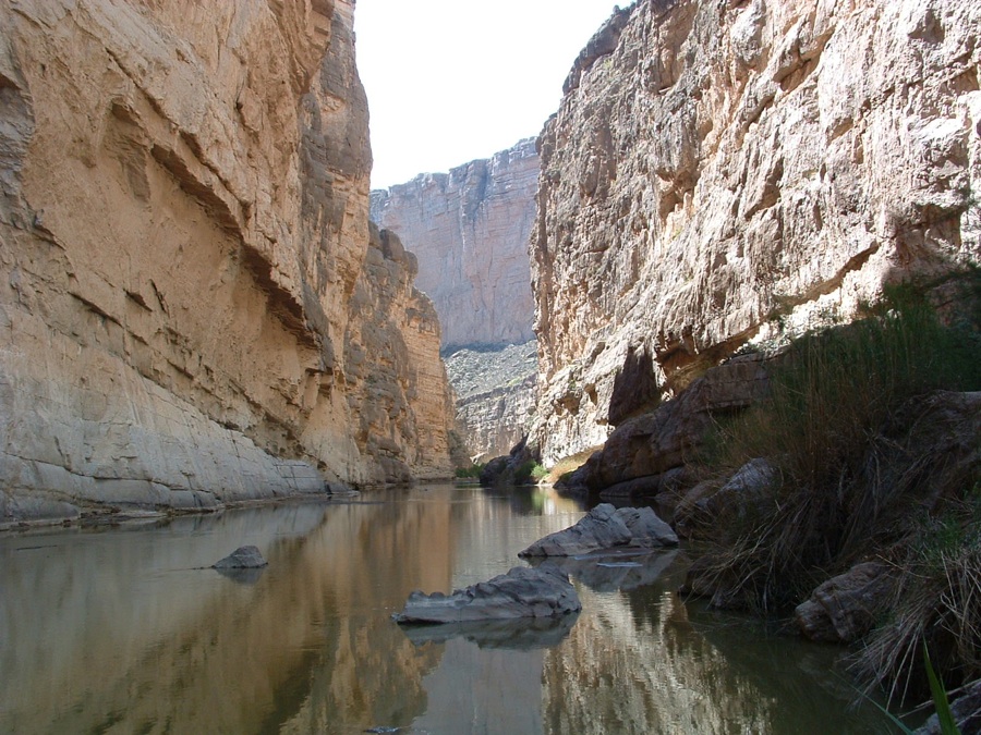
The nature trail crosses Terlingua Creek, climbs several flights of ramps and stairs and then descends into the canyon along the Rio Grande. At this point the canyon walls loom over 1500 feet above the river below. During the rainy season, Terlingua Creek can flood and make access difficult, so it is a good idea to check with Park Rangers for current conditions.

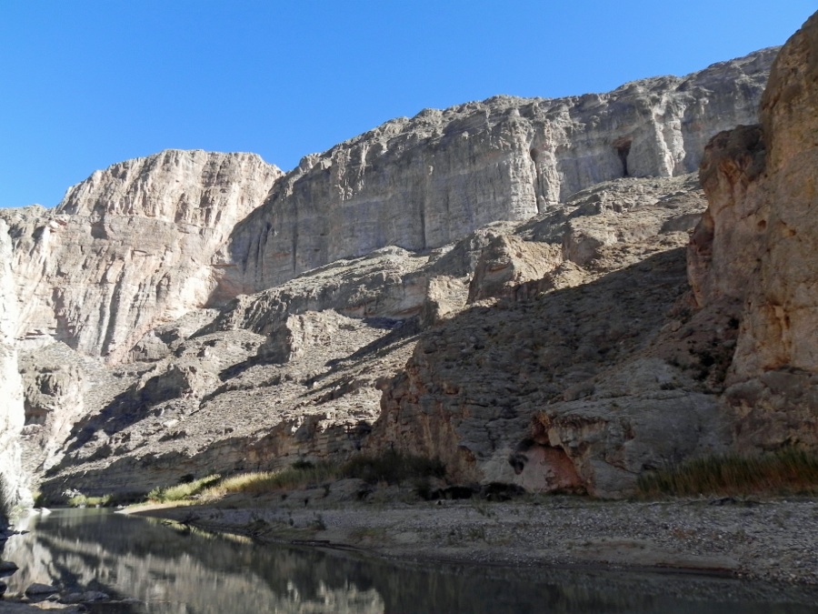
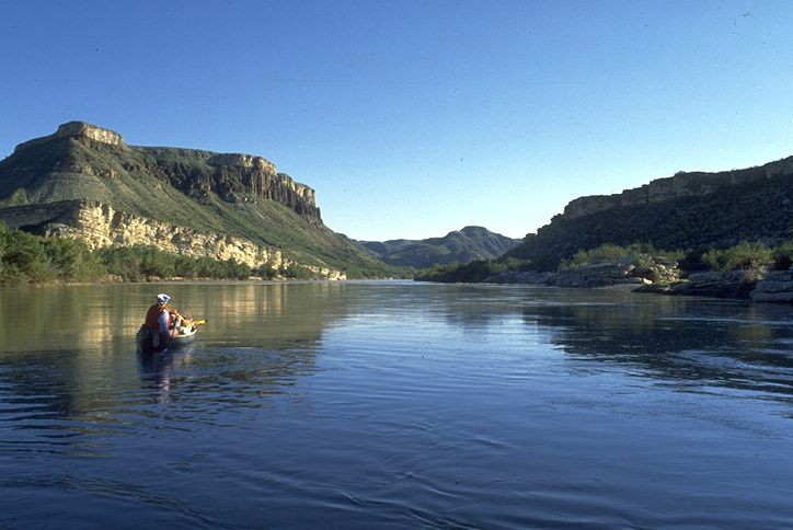
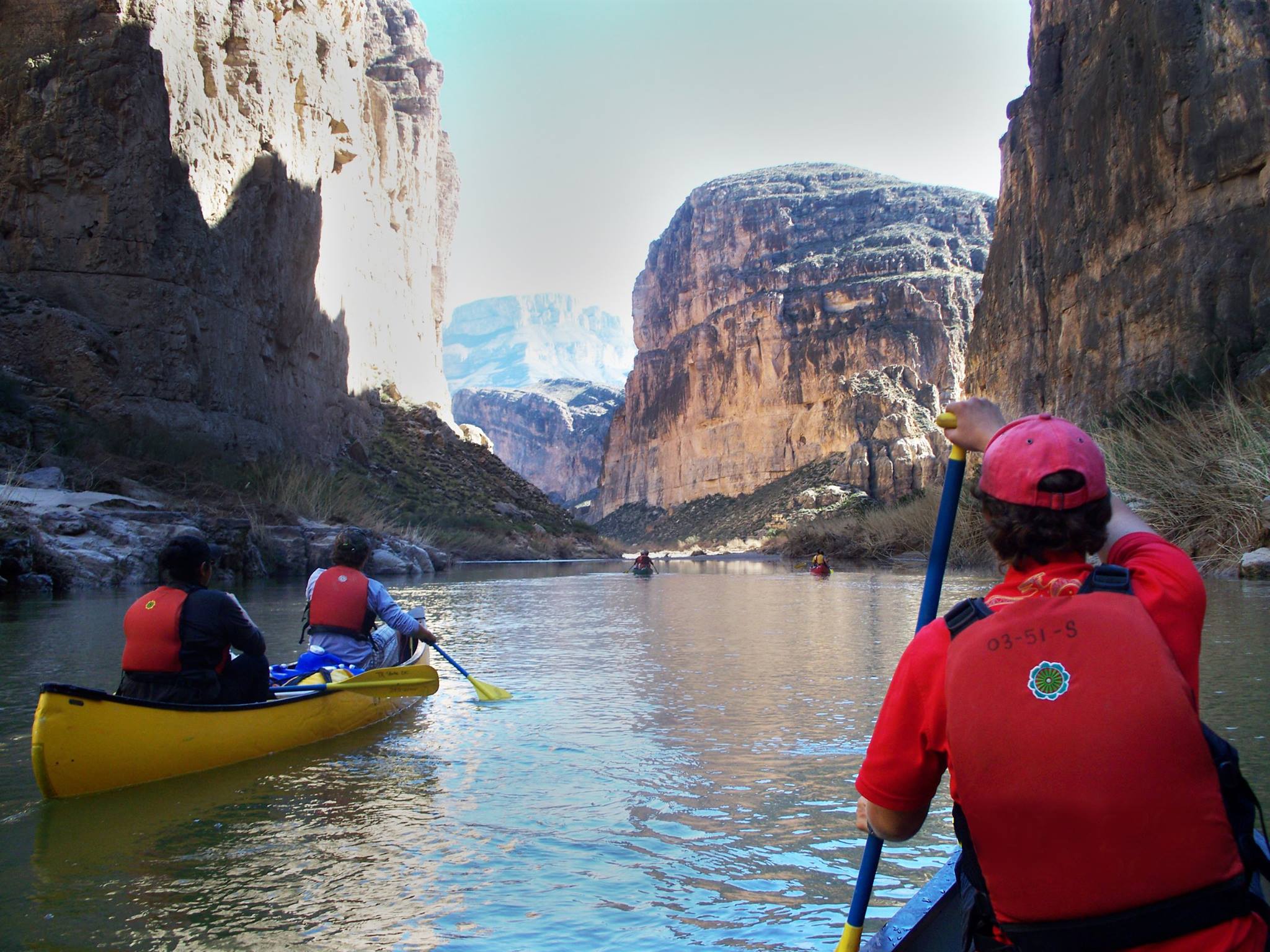
The best way to see the canyon is by raft or canoe. Local outfitters offer trips from one to three days in length when conditions allow, and river runners of intermediate or better skill level often go on their own. The scenery is spectacular, and there are many opportunities for wildlife viewing, hiking in shady side canyons and camping on spacious sandbars. There are a couple of rapids to watch out for, and the famed Rockslide can provide a challenge for even for experienced professionals. Know before you go. Contact a local outfitter, or purchase a guidebook, then find out what the current conditions are before heading off into the wilderness on your own.

Recent Posts
3 Dreamy Days in Big Bend, Texas

3 Dreamy Days in Big Bend, Texas

Candelilla House Big Bend Holiday Hotel Craggy canyons tower over the mighty Rio Grande in west Texas, separating the United States from Mexico. The Big Bend area of Texas offers a blissful coexistence of mountain terrain and desert plains. Entire mesas covered with...

Hiking Trails for Young Children in Big Bend National Park


Hiking Trails for Young Children in Big Bend National Park


By Belle Peña-Lancaster Planning a trip to the Big Bend Region with children in tote can be a bit intimidating. The road wear you incur while traveling just to get to the Brewster County line is unavoidable, however it’s completely worth it. From one family to another...

National Park Info

National Park Info

Big Bend National Park encompasses the largest protected area of the Chihuahuan Desert in the United States. The Rio Grande Wild and Scenic River forms its southern boundary, and it's the only park in the United States that contains a complete mountain range - the...

Boquillas Canyon

Boquillas Canyon

Boquillas Canyon is the longest and deepest canyon in Big Bend National Park. The vertical relief from nearby Pico del Carmen, to river level is over 7,000 feet, somewhat deeper than the Grand Canyon of the Colorado. From the Parking Lot at the endo of the Boqullas...

Rio Grande Canyons

Rio Grande Canyons

The Rio Grande is a continental river which forms the border between Mexico and the US and gives the Big Bend and the state of Texas their distinct shapes. The Rio Grande begins in the high snowfields of the continental divide, in the San Juan range of central...

Colorado Canyon

Colorado Canyon

Colorado Canyon, in Big Bend Ranch State Park, is the most accessible of the area's major river canyons, and offers vehicle accessible views of the river as well as a choice of short float trips. Most Rio Grande canyons have been carved out of dense limestones, which...